Fr
Menu
English
Arabic
Brazil
French
German
Italian
Russian
Simplified China
Traditional China
Spanish
Turkey
India
Vietnam
Japanese
Korean
à propos de l'application
Contacts
Fr
English
Arabic
Brazil
French
German
Italian
Russian
Simplified China
Traditional China
Spanish
Turkey
India
Vietnam
Japanese
Korean
This section is not available yet
Accueil
Cartes
Corée du Sud
온양읍
Sections
Meilleurs lieux
Divertissement
Bibliothèque
Attractions
Église
Commerce
Hébergement
Motel
Magasins
Supermarché
Santé
Dentiste
Hôpital
Nourriture
Restaurant
Éducation
Maternelle
École
Transport
Station-service
Gare
Finance
Banque
Poste
Banque
온양농협
Corée du Sud, GPS: 35.41795,129.28143
온양농협 (Onyang Nonghyup)
1,0
Bibliothèque
울주군립도서관 (Uljugullip Library)
0,5
Dentiste
온양치과의원 (Onyang Dental Clinic)
1,0
Gare
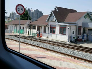
외고산역 (Oegosan Sta.)
온양읍 고산리, 울주군, Ulsan, Corée du Sud, GPS: 35.431442,129.28008
Namchang Stn. (남창역)
온양읍 남창역길 40 (동해남부선), 남창리, 울주군, Ulsan, 44974, Corée du Sud, GPS: 35.417664,129.28325
Cartes de crédit
+
more
Hôpital
온양의원 (Onyang Clinic)
2,5
준소아과 (Junsoagwa)
2,5
Maternelle
예은유치원 (Yeeun Kindergarten)
2,0
연세자연유치원 (Yeonsejayeon Kindergarten)
2,5
Motel
수선화모텔 (Suseonhwa Motel)
1,5
뉴스타모텔 (New Star Motel)
1,5
Poste
온양우체국 (Onyang Post Office)
0,5
Restaurant
범서횟집 (Beomseo Fish Restaurant)
2,0
한바다횟집 (Hanbada Fish Restaurant)
2,5
Station-service
남창주유소 (Namchang Gas Station)
2,5
온천주유소 (Hot Spring Gas Station)
2,5
Supermarché
아람안경마트 (Aramangyeong Mart)
1,5
아름마트 (Areum Mart)
2,0
École
남창중학교
2,0
온남초등학교
1,5
Église
천주교남창성당
1,5
Show on map
Show list
MAPS.ME
toujours disponibles
Téléchargez des applications et élargissez vos horizons
Ouvrir l'application MAPS.ME
Utiliser la version web